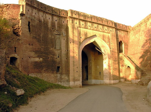
Located a little south of the road and railway lines from Delhi to Amritsar, Patiala was once the capital of an independent Sikh state.
Patiala forms the southeastern tip of Punjab bordering Chandigarh and Haryana. The District forms a part of Indo-Gangetic plain composed of materials deposited by rivers over the last 1.8 million years or so. The District is a level plain with gentle slopes with an average elevation of 265 meters and extends about 91 KM in East -West direction and 113 KM in North-South direction.
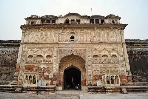
The early history of the Patiala state is considered more of a myth than fact. Baba Ala Singh, a man with vision and courage assumed the leadership in 1714 and carved out an independent principality from a petty Zamindari of 30 villages. His successors were instrumental in the expansion of Patiala into a big state. The state's borders touched the Shivaliks in north, Rajasthan in the South and upper courses of the Jamuna and Sutlej.
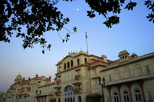
The state of Patiala assumed prominence on the Indian map during the reign of Maharaja Bhupinder Singh (1900-1930). The rich architectural legacy of the place is to his credit only. Also his son facilitated the process of natural integration of the state by signing the instrument of accession.